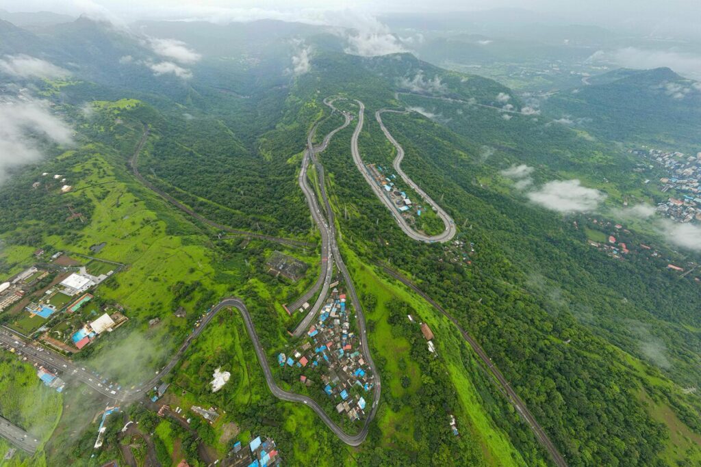
Planning a trip from the plains to Ooty, Munnar or any other hill station? You can estimate how much colder it will be with one number and a quick multiplication: on average, the air loses about 6.5 °C for every 1,000 metres you climb.
Why the hills are cooler
Meteorologists call it the lapse rate: the rate at which temperature falls as altitude rises. The sun mostly heats the ground, the ground warms the air just above it, and rising air expands and cools as it goes up. Convection keeps mixing the lower atmosphere, which settles the average drop at a fairly steady value.
That value is written into the international standard atmosphere used by the International Civil Aviation Organization (ICAO): 6.5 °C per kilometre, from sea level up to 11 km. That cooling is exactly why the British built hill stations as a refuge from the summer heat. India has more of them than any other country, and most sit between roughly 1,000 and 2,500 metres.
The altitude temperature rule
To estimate the difference between two places, you only need the height difference between them:
Temperature drop ≈ height difference in km × 6.5 °C
In plain words: every 100 metres of climb takes about 0.65 °C off the thermometer. If your map or app shows feet, use roughly 2 °C per 1,000 ft (the exact standard figure is 1.98 °C).
So a hill station at 1,000 m is around 6.5 °C cooler than a town at sea level, and one at 2,500 m is around 16 °C cooler. You can also run the rule backwards: to be 10 °C cooler than the coast, you need to climb about 10 ÷ 6.5 ≈ 1.5 km.
A real example: Coimbatore to Ooty
Coimbatore sits at about 427 m and Ooty at about 2,240 m.
- Height difference: 2,240 − 427 = 1,813 m, or 1.813 km
- Temperature drop: 1.813 × 6.5 ≈ 11.8 °C
- Say it is 30 °C in Coimbatore: expect roughly 30 − 11.8 ≈ 18 °C in Ooty at the same moment
The feet version gives the same answer: Ooty is about 7,349 ft and Coimbatore about 1,401 ft, a difference of about 5,948 ft, and 5.948 × 1.98 ≈ 11.8 °C.
Another classic trip, Kochi (26 m) to Munnar (1,532 m), works the same way: 1.506 km × 6.5 ≈ 9.8 °C. A 31 °C afternoon in Kochi becomes something closer to 21 °C in Munnar.
If you need the gap in Fahrenheit, remember that a temperature difference converts with × 9/5 only, without adding 32: 11.8 °C cooler is about 21 °F cooler. We explain why in our guide on temperature differences in °C and °F.
Common mistakes
Using 9.8 °C per km
You will sometimes see 9.8 °C/km quoted as the lapse rate. That is the dry adiabatic rate, which describes how a single pocket of dry air cools as it rises, not the temperature you will actually find at the top of a hill. Using it for Ooty gives a drop of 17.8 °C, about 6 °C too much. In humid, cloudy air the rate can be lower still: the saturated rate is typically around 5 °C/km.
Mixing metres and feet
Multiplying a height in feet by 6.5 (or a height in metres by 2) gives nonsense. Pick one unit and the matching rate: 6.5 °C per 1,000 m, or about 2 °C per 1,000 ft.
Using the altitude instead of the difference
The rule compares two places. Ooty is not 2.24 km × 6.5 ≈ 14.6 °C colder than Coimbatore, because Coimbatore is already 427 m up.
Treating the average as a forecast
6.5 °C/km is an average. The real rate on a given day “can be highly variable between circumstances”, depending on sun, wind, cloud and humidity. Early in the morning, after the ground has cooled overnight, valleys can even sit under an inversion layer, where it gets warmer as you go up. Use the rule to decide what to pack, then check the local forecast before you leave.
Going higher than a hill station
The same rule explains why a cruising airliner sits in air around −56.5 °C: start from the standard 15 °C at sea level and subtract 6.5 °C for each of the 11 km. Above 11 km the standard atmosphere stops cooling and stays at that temperature.
Closer to the ground, high-altitude destinations bring other numbers to watch besides the cold. If you are heading to Ladakh, read our guide on altitude math for flying into Leh before you book your trek.